Suggested Hike Maps
From the Mohonk Preserve Visitor Center Trailhead:
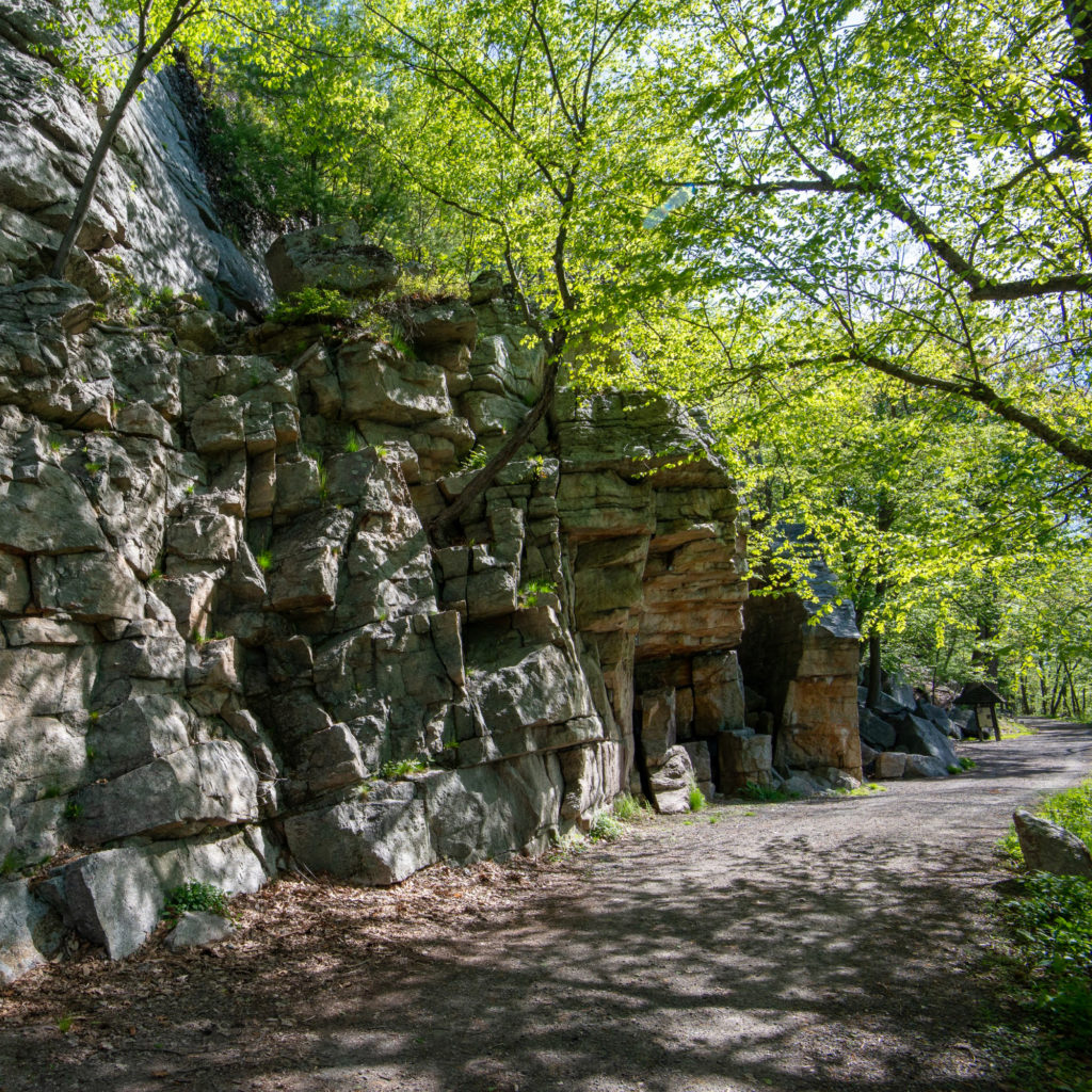
Undercliff-Overcliff Loop (Via East Trapps Connector Trail)
This iconic Gunks loop hike includes soaring cliffs and sweeping vistas of the Wallkill Valley (from Undercliff) and the Catskills and Clove Valley (from Overcliff). The hike is entirely on historic carriage roads, which were originally built to transport people and goods to the nearby mountain resorts. These wide, level paths provide a great surface for hiking, running or cycling. Do the entire loop or pick one of the two carriage roads for an out-and-back hike.
From the West Trapps Trailhead:
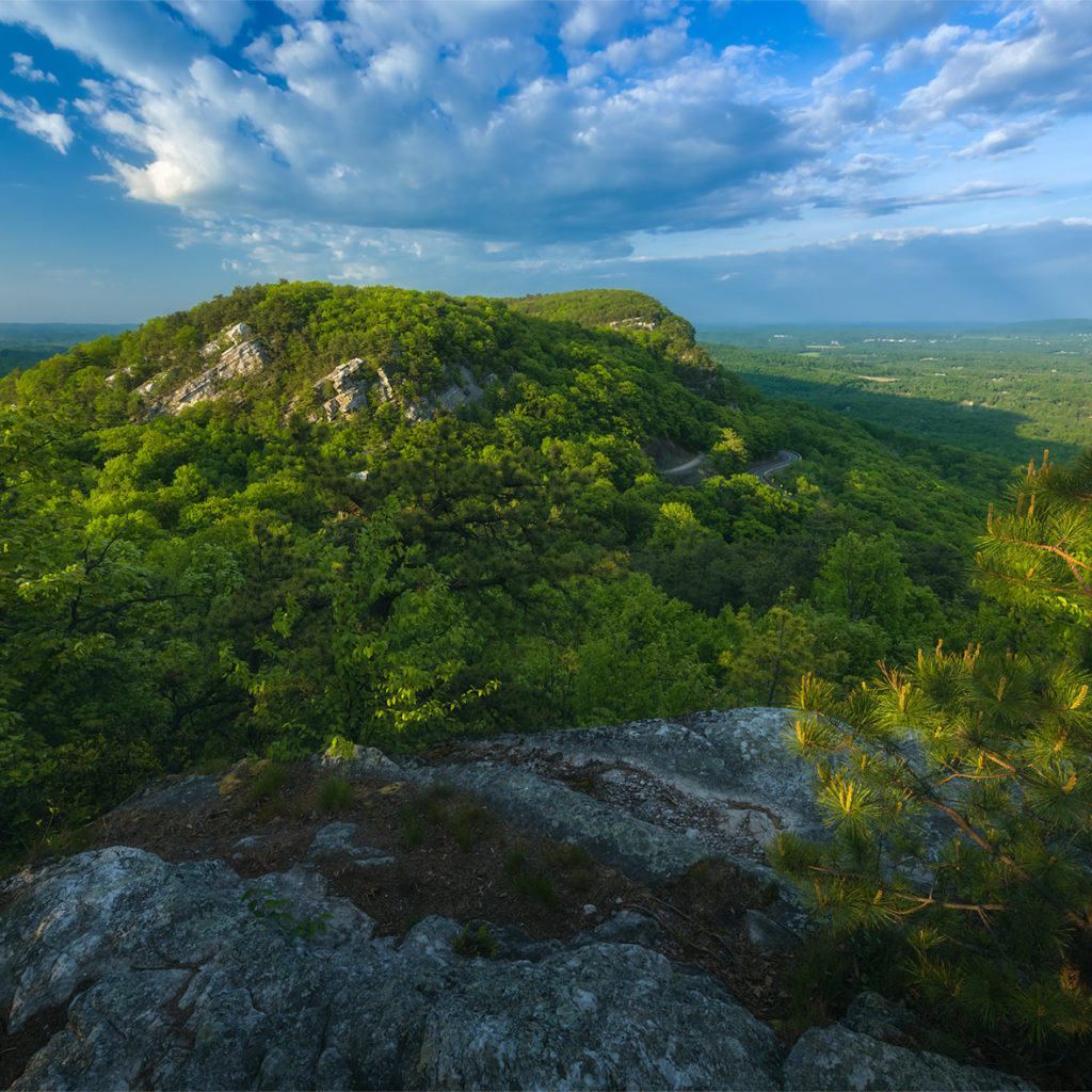
Millbrook Ridge Loops
Hike to the the summit of Millbrook Mountain and take in stunning views of the Hudson Valley along the Shawangunk ridge top. Catch a glimpse of a bird of prey in flight from the vista after the first steep-slab incline. This hike covers footpaths, occasionally across rock slabs, and the Preserve’s carriage roads. Multiple loop options make this trail a great adventure for hikers and families with a wide-range of experience and abilities.
Distances: (starting/ending at Trapps Bridge)
Return via Bayards Path – 2.0 miles
Return via Millbrook Cross Trail & Coxing Trail – 4.4 miles
Return via Coxing Trail – 6.2 miles
Undercliff-Overcliff Loop
This iconic Gunks loop hike includes soaring cliffs and sweeping vistas of the Wallkill Valley (from Undercliff) and the Catskills and Clove Valley (from Overcliff). The hike is entirely on historic carriage roads, which were originally built to transport people and goods to the nearby mountain resorts. These wide, level paths provide a great surface for hiking, running or cycling. Do the entire loop or pick one of the two carriage roads for an out-and-back hike.
From the Spring Farm Trailhead:
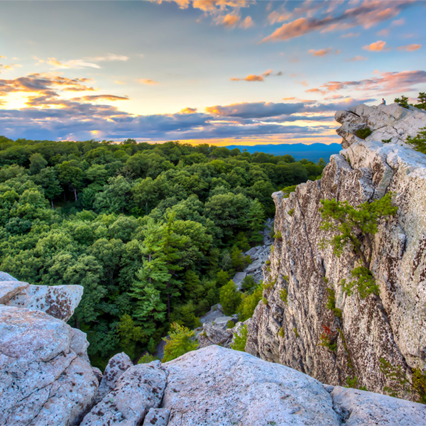
Bonticou Crag
Travel from open fields through the woods and hike to the top of a prominent, stark-white crag overlooking the valley. Includes an optional rock scramble.
Table Rocks
This out-and-back trail features a hike through an open pasture and forest to Table Rocks, formed by a geological rockslide lasting thousands of years. Please use caution in this area and avoid the crevasses in the rocks.
From the Testimonial Gateway Trailhead:
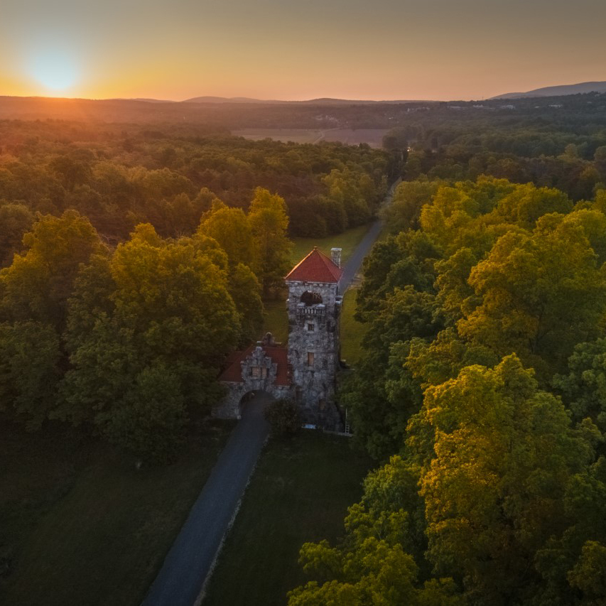
Foothills Loop
Begin your journey at the Testimonial Gateway Trailhead – the Preserve’s first new trailhead in 26 years – as you explore the Mohonk Preserve Foothills. Pass through the historic Testimonial Gateway Tower arch and along the Pin Oak Allee on the Lenape Lane Carriage Road to the Mohonk Preserve Foothills Loop of the River-to-Ridge Trail. This hike features beautiful farm fields and majestic views of the Shawangunk Ridge.
From the Duck Pond Visitor Experience Booth:
Duck Pond Loop
This hike features beautiful farm fields and majestic views of the Shawangunk Ridge along the route to historic Duck Pond. Duck Pond was created in 1908 as part of the formal entrance to the Mohonk Mountain House. It later served as a breeding ground for bass and rainbow trout. By the 1940s, Duck Pond became a popular stopping point for nature study, hikers and photographers looking for a scenic view.
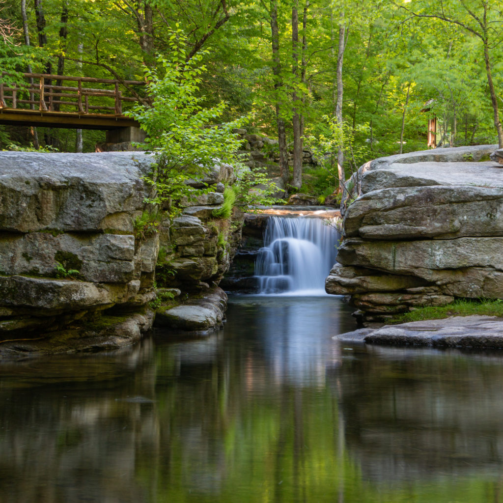
From the Coxing Trailhead:
Valley View Loop
This hike features the iconic Split Rock waterfall along the Coxing Kill, a tranquil forest path through hemlock groves that connects to Overcliff Carriage Road featuring views of the Clove Valley and Catskills beyond.
Popular Hikes from Mohonk Preserve trailheads that continue onto neighboring lands:
Click to view and download printable PDF trail maps
- Sky Top at Mohonk Mountain House from the Mohonk Preserve Visitor Center
- Sky Top at Mohonk Mountain House from the West Trapps Trailhead
- Sky Top at Mohohonk Mountain House from the Duck Pond Trailhead
- Sky Top at Mohonk Mountain House from the Spring Farm Trailhead
- Awosting Falls from the West Trapps Trailhead
Please note: Full-color, water resistant maps of the entire Preserve are available at the Visitor Center for $5.00!
Download Trail Maps to Your Mobile Device: Bring a digital trail map with you on any mobile device. Trail maps from Mohonk Preserve and the New York-New Jersey Trail Conference are now available on Apple iOS and Android devices using the Avenza Maps app. This free app allows you to purchase regional maps.
Banner photo of the Shawangunk Ridge in spring by John Mizel
